Search the Community
Showing results for tags 'busway'.
Found 1 result
-
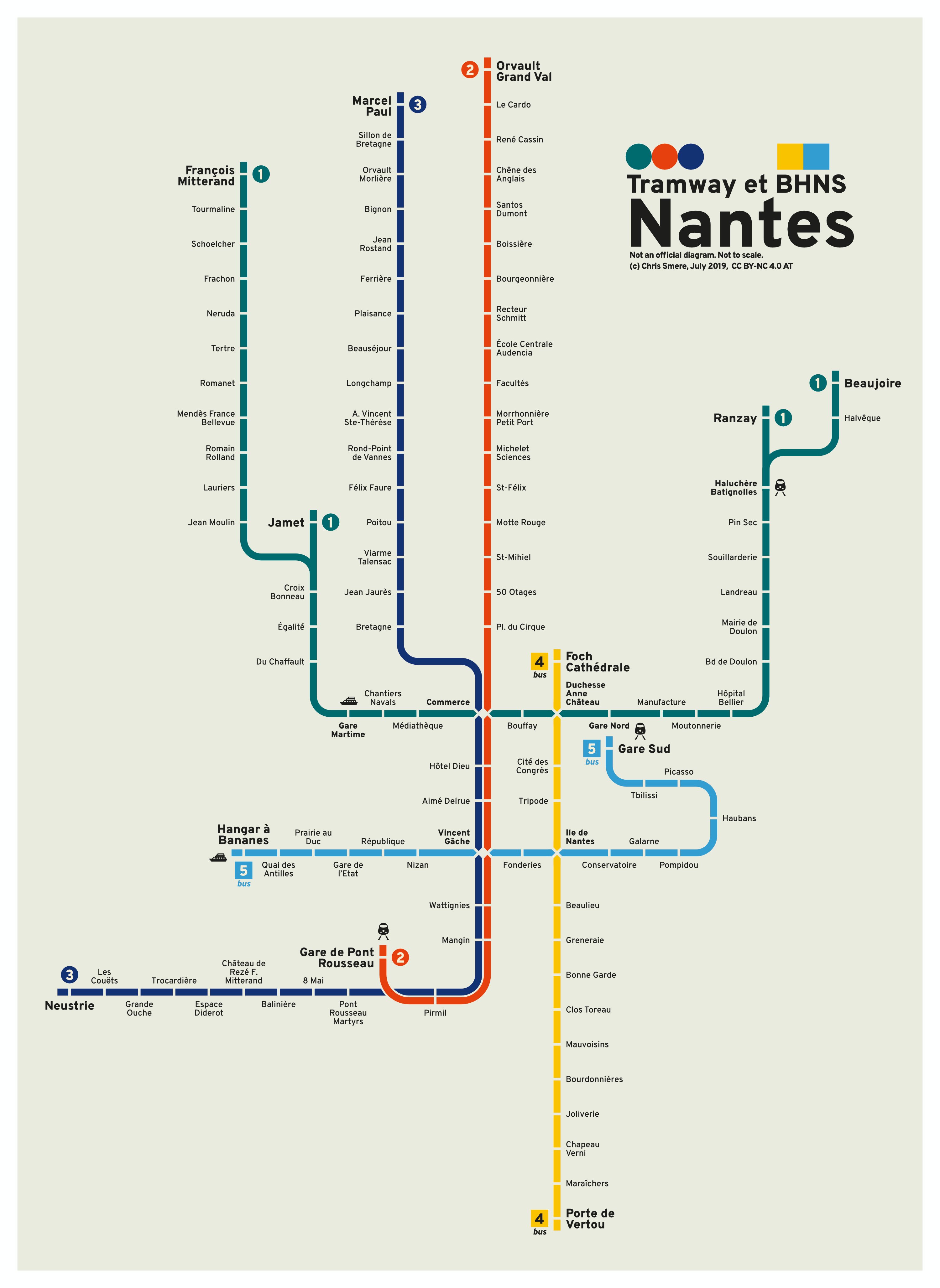
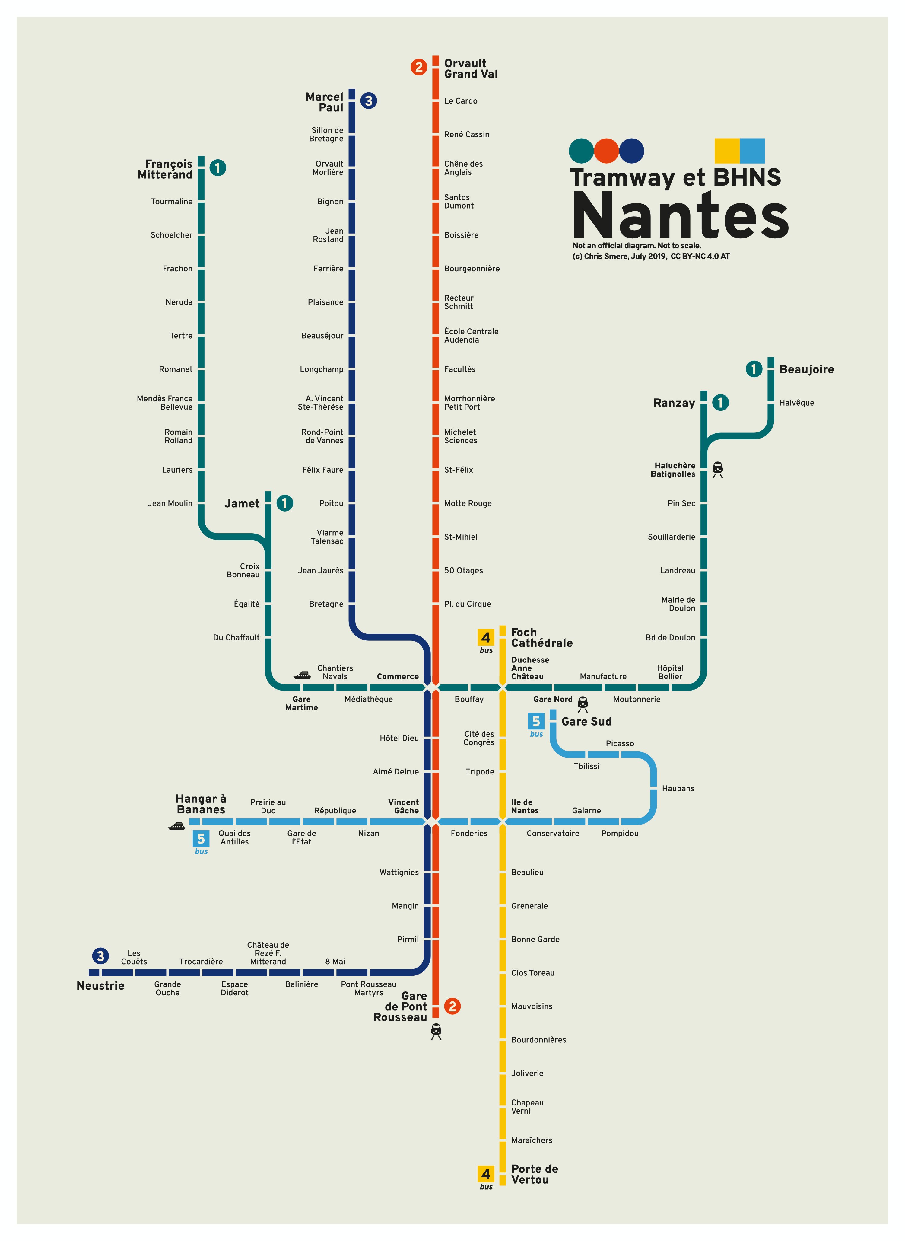
 Good evening :-) I do transit maps (diagrams) for fun in my spare time to relax. Here is my minimalistic interpretation of the Nantes (France) tram and busway (BRT, BHNS) network. There are two versions - the difference is the south part of the red line. Pushed it to be a straight line at the cost of geographical accuracy. Feedback is welcome. Have a nice start of the week tomorrow! Chris